Geographic Information Systems, Surveying & Spatial Analysis
Professional portfolio of Muhammad Hanif Adiprana highlighting extensive expertise in UAV drone photogrammetry, high-density 3D surface reconstruction, geodetic RTK GNSS surveying, catchment hydrology, and environmental spatial analysis.
Interactive 3D Photogrammetry Models (All Survey Proofs)
Direct 3D web visualization for each field survey proof (Lava Bantal, Jakal Building, Cawas, FKG UGM, Kalisari Landslide, Khoiro Ummah, and Widodomartani). Click any proof card below to load its 3D model instantly.
Orthomosaic, DEM & Contour Map Viewer
Integrated geospatial map viewer for all field surveying sites: Khoiro Ummah, Widodomartani, Cawas, FKG UGM Parking, Lava Bantal, and Kalisari Landslide. Features interactive layer overlays, North arrow (Compass Rose), and dynamic graphic scale bar.
Project Catalog & Verified Field Acreage
Complete audited summary of field surveying acreage (Field Area) and structural/building site scales with equipment configurations, geodetic GNSS methodology, and delivered products.
| No | Location / Project Name | Category & Scope | Area (Hectares) | Equipment & Accuracy Method | Output Deliverables | Status |
|---|---|---|---|---|---|---|
| 1 | North Kalimantan (Kalimantan Utara) | Regional Watershed & Landscape Analysis | 5,500.0 Ha | DJI M3E + D-RTK 2 | Orthomosaic, DEM, Land Cover Map | Large Scale |
| 2 | NTT (East Nusa Tenggara) | 6 Sites: Ende, Mgt-01, 05, 10, Rtg, Mgr | 300.0 Ha (50 Ha × 6) | DJI M3E + D-RTK 2 | Orthomosaic, DTM, Contours, Aerial Video | Multi-Site |
| 3 | Cawas & Cawas River, Klaten | River Basin & Agricultural Irrigation | 60.2 Ha (DEM: 255 Ha) | DJI M3E + D-RTK 2 | Orthomosaic TIF (405 MB), DEM, Contours DXF/SHP, 3D Mesh | Verified |
| 4 | Kalisari, Magelang | Landslide Research, SIMWE & UAV-LiDAR | 51.6 Ha | Phantom 4 + Emlid Reach RS3 | Point Cloud LiDAR, Orthomosaic, SIMWE Erosion Simulation | Q1 Journal |
| 5 | Manglong, Magelang | Slope Monitoring & Geomorphology | - | DJI Phantom 4 + Agisoft Metashape | Orthomosaic, DTM, Slope Runoff Modeling | Completed |
| 6 | Cibeunying, Cilacap | Landslide Research & Disaster-Prone Terrain | - | DJI M3E + Emlid Reach RS3 | Orthomosaic, DEM, Elevation Contour Map | Completed |
| 7 | Pandanarum, Banjarnegara | Landslide Research in Mountainous Disaster Zone | - | DJI M3E + Emlid Reach RS3 | 4K Aerial Documentation, Elevation Mapping | Completed |
| 8 | Sindoro Slope (Lereng Sindoro) | Volcanic Topography & Land Cover | - | DJI Mavic 3 Enterprise RTK | DEM, Overland Flow Routing, GLI Index | Completed |
| 9 | Lava Bantal, Berbah Sleman | Geoheritage Field Practice & Opak River Corridor | 22.8 Ha (DEM: 70.1 Ha) | DJI M3E + Emlid Reach RS3 | 4-Block 3D Mesh (OBJ/MTL), Ortho TIF, Contours | 3D Model |
| 10 | FKG UGM Parking, Sleman | Health Cluster & ERT Geoelectrical Survey | 4.79 Ha | DJI Phantom 4 + Emlid Reach RS3 | 2.5 cm GSD Orthomosaic, DEM, Triangulation Report | UGM Research |
| 11 | Widodomartani (Maguwoharjo), Sleman | Initial Building Footprint & Cadastre | 3.5 Ha | DJI Mini 3 (Free Hand Manual Flight) | Orthomosaic JPG/TIF (392 MB), 3D Mesh Texture | Initial Footprint |
| 12 | Khoiro Ummah (Turi, Sleman) | Educational Complex on Merapi Volcanic Slope | 2.0 Ha | DJI Mini 3 (Free Hand Manual Flight) | High-Res Aerial Photography, 3D Architectural Model | Initial Footprint |
| 13 | Jakal (Jl. Kaliurang), Sleman | Initial Building Site & Architectural 3D Model | 1.8 Ha | DJI Mini 3 (Free Hand Manual Flight) | Ultra-Detail Textured 3D Mesh (3 GB OBJ) | Building 3D |
YouTube Broadcasts & Field Activity Showcase
Official educational videos, scientific broadcasts (GLMB UGM Laboratory), drone operations, geomorphology explorations, and UAV-LiDAR field documentation. Protected streaming mode enabled.
Menghitung Jejak Erosi untuk Masa Depan (Erosion Quantification)
Research broadcast by Laboratorium GLMB Faculty of Geography UGM discussing physical soil erosion modeling, sediment monitoring, and UAV-LiDAR data integration.
Memodelkan Erosi pada Skala Detail (SIMWE Modeling)
Three-Minute Thesis (3MT) presentation award winner detailing high-resolution SIMWE runoff and soil detachment simulations on Kalisari landslide slope.
Teknologi Canggih Pemetaan: GPS Geodetik, Drone & TLS
Hands-on overview of modern surveying instruments: Geodetic RTK GNSS receivers, UAV photogrammetry drones, and Terrestrial Laser Scanning (TLS).
Tutorial Pengolahan Benchmark Metode Statik
Tutorial pengolahan benchmark menggunakan metode statik. Menjelaskan hasil rekaman rapid statis Emlid Reach RS3 dengan mengoreksi kepada stasiun CORS BIG.
Pengenalan SIMWE & Persiapan Data Dasar
Pengenalan SIMWE. Dasar-dasar persiapan data yang perlu diketahui untuk pemodelan hidrologi dan simulasi erosi fisik SIMWE.
Tutorial Simulasi SIMWE & Eksekusi GRASS GIS
Tutorial simulasi SIMWE: pengenalan antarmuka GRASS GIS, konfigurasi parameter raster, dan tata cara running model SIMWE.
Field Survey & Operations Documentation
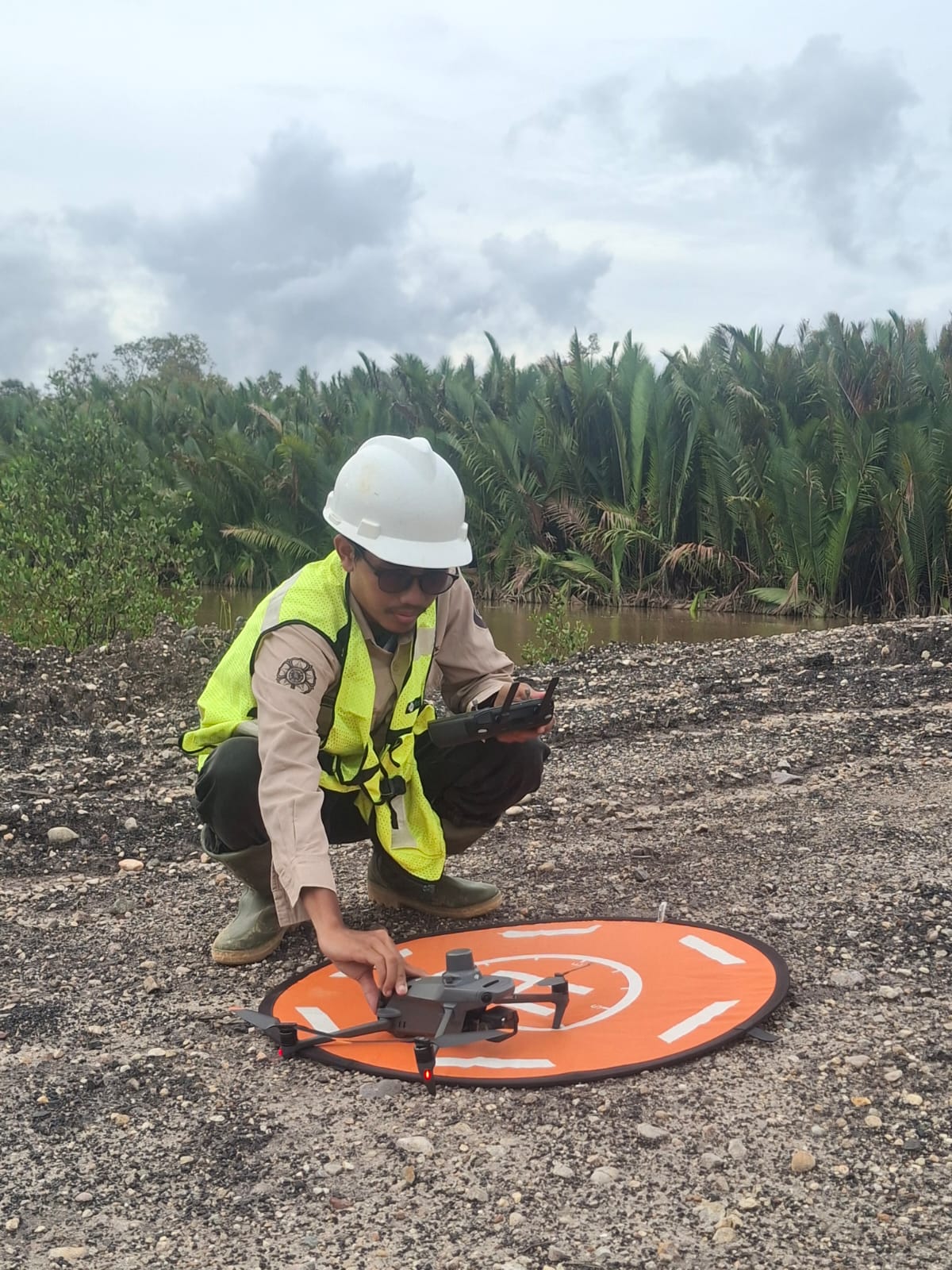
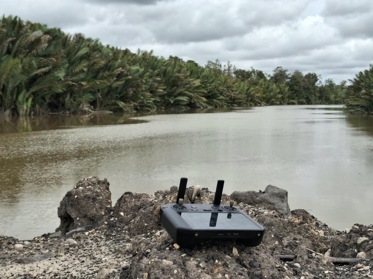
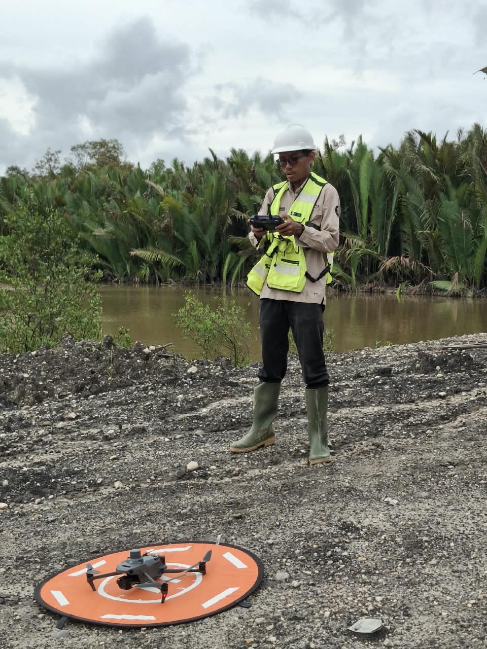
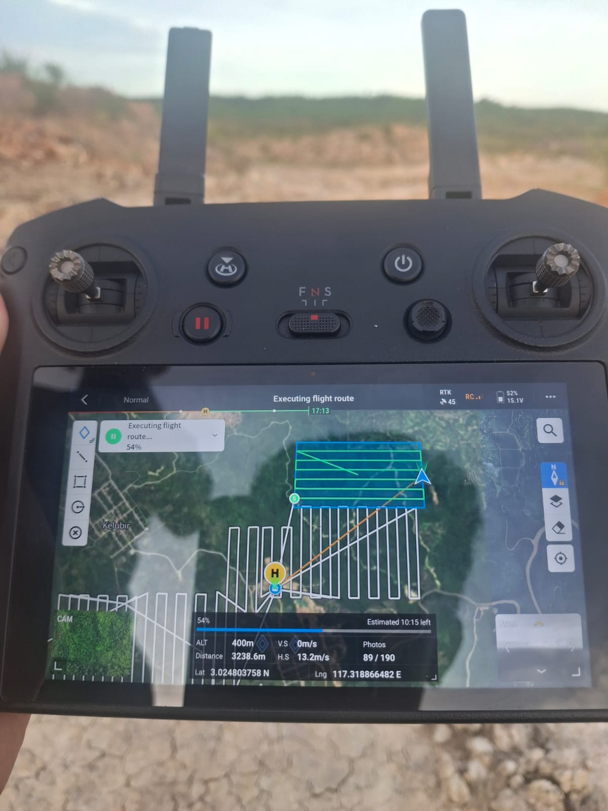
Primary Aerial Survey & Flight Operation (DJI M3E)
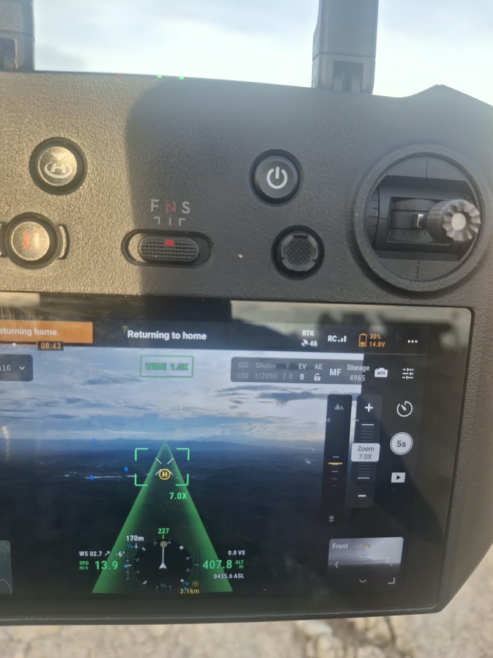
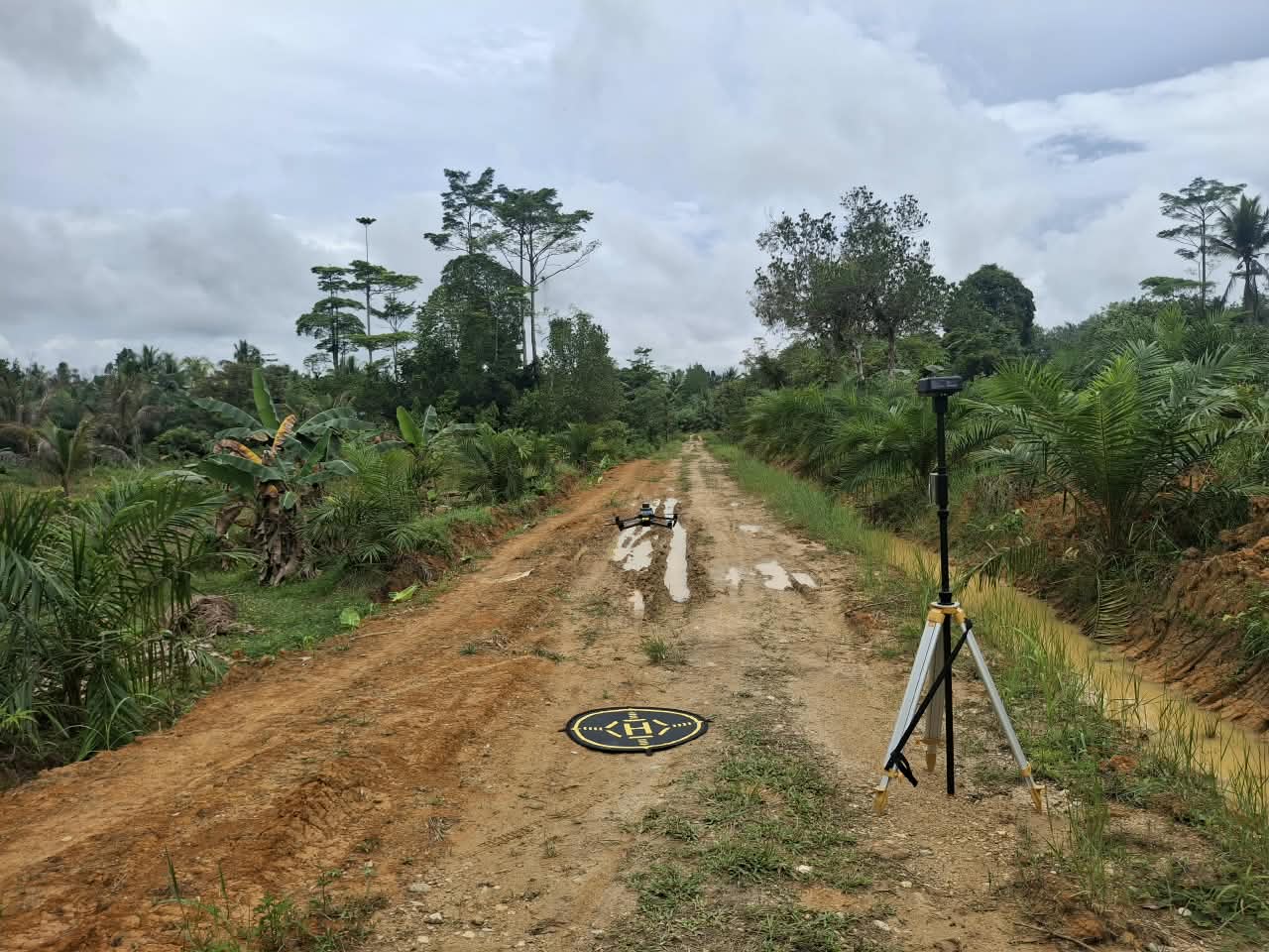
Dokumentasi video langsung manuver penerbangan survei udara fotogrametri resolusi tinggi, pemantauan koridor terbang, serta inspeksi area survei lapangan.
Curriculum Vitae
Comprehensive resume of Muhammad Hanif Adiprana, S.Si. (B.Sc.) covering geospatial data science, hydro-meteorological audit, land surveying, publications, and certifications.
Professional Experience
Junior Hydrologist
- Conducted technical hydrological audits for a major gold mining operation in West Nusa Tenggara to ensure data integrity for environmental compliance.
- Managed field instrumentation checking, overseeing calibration and telemetry monitoring of hydrological sensors to maintain 100% data continuity.
- Validated 7M+ large-scale spatiotemporal datasets, identifying and resolving anomalies for regulatory reporting foundation.
- Collaborated with interdisciplinary experts at UGM to synthesize field observations into actionable environmental impact assessments.
Environmental Expert Assistant
- Conducted comprehensive environmental site assessments, focusing on hydrological and hydrogeological constraints to inform sustainable land-use planning.
- Executed specialized field tests, including soil infiltration and permeability measurements using the Auger Hole method to establish baseline hydraulic conductivity data.
- Performed rigorous erosion analysis and modelling to identify high-vulnerability zones for environmental mitigation strategies.
- Developed high-precision thematic maps and GIS-based models visualizing complex hydrological patterns, soil stability, and erosion intensity.
Research and GIS Assistant
- Assessed groundwater recharge spatially using static and dynamic methods in calculating water balance and analyzed water quality distribution in Tuban Regency.
- Collaborated with academic experts, ensuring proper sustainable water balance recommendations.
Spatial Analyst
- Conducted species distribution modelling of coffee from the 19th century using historical Dutch land-use maps and Maximum Entropy (MaxEnt) machine learning.
- Assisted land suitability analysis using raster-based approaches to enhance community forest tenure and sustainable livelihoods.
Field Surveyor
- Conducted collaborative disaster risk data gathering through field observation and interviews for a multi-hazard risk assessment survey across Yogyakarta and Bali, Indonesia.
Data Analyst Contributor
- Spatial Data Management: Acquired and processed spatial data from various open access sources across Indonesia leveraging Google Earth Engine, Google Colab, and ArcGIS REST services for effective analysis.
- Environmental Impact Assessment: Conducted comprehensive analysis of deforestation in Lampung Province (2000–2023) contextualizing findings within legal, policy, and social dynamics.
- Carbon Inventory: Estimated carbon stock in peatland and non-peatland ecosystems utilizing Indonesian FREL (Forest Reference Emission Level) methodologies.
MOOC Video Production Assistant
- Cinematography and DOP: Operated as Cinematographer and Director of Photography (DOP) in a production house studio producing high-quality footage.
- MOOC Video Production and Editing: Compiled and edited 12 educational audio-visual videos for a Massive Open Online Course (MOOC) on the UGM Online platform.
Conference Staff
- Proofread and formatted numerous submitted scientific papers, verifying strict adherence to specific publisher style guides and formatting requirements.
- Accurately and efficiently notated conference presentations, producing detailed executive summaries.
Practicum Assistant (Teaching Assistant)
- Provided teaching materials and tutored 13 undergraduate students in geomorphology, facilitating practical learning through 3 laboratory and field sessions.
- Designed and implemented practicum modules; evaluated student performance through report assessments, field work observations, and final testing.
Field Surveyor (ERT Geoelectrics & Drone Photogrammetry)
- Piloted UAV drones and processed high-resolution photogrammetric maps using Agisoft Metashape.
- Precisely geotagged Electrical Resistivity Tomography (ERT) electrodes with Geodetic RTK GNSS for accurate sub-surface cross-section referencing.
Technical Workflow & Survey Pipeline
Rigorous operational standards from mission planning and geodetic GNSS acquisition to sub-decimeter photogrammetric surface modeling.
Autonomous Flight Planning
Automated flight trajectory formulation (Cross-grid & Nadir) with minimum 75-80% forward/lateral overlap, GSD calibration (2-5 cm), and strict airspace safety compliance.
GCP & Geodetic GNSS RTK
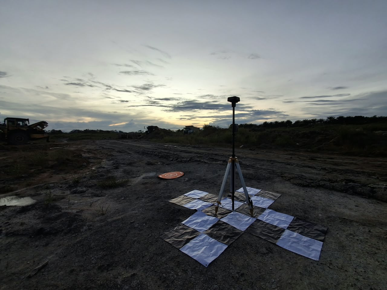
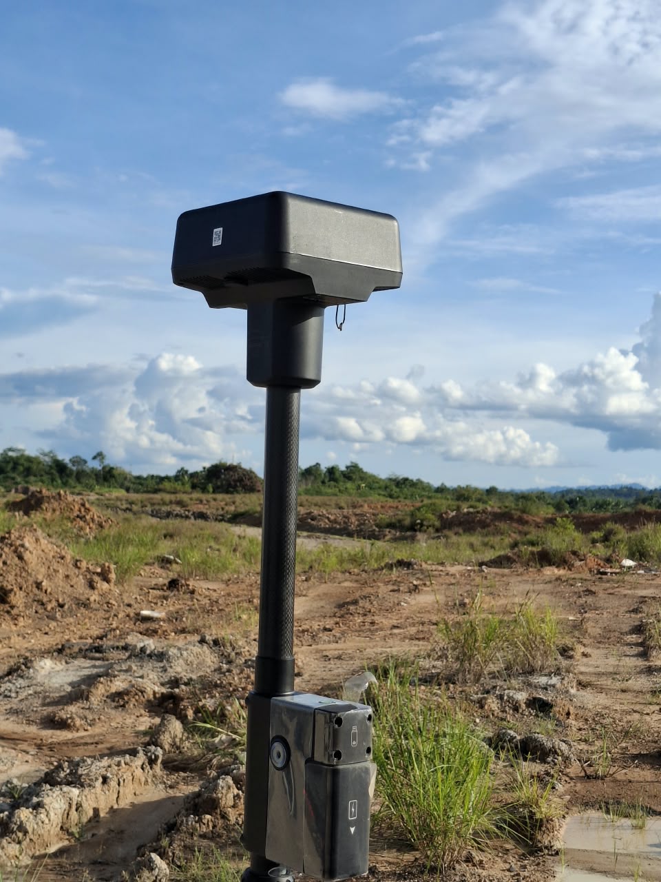
Rigorous distribution of Ground Control Points (GCPs) and Independent Check Points (ICPs) using Emlid Reach RS3, CORS BIG RTK (NTRIP), or DJI D-RTK 2 base station.
Aerotriangulation & Dense Matching
Structure-from-Motion (SfM) photogrammetric processing via DJI Terra and Agisoft Metashape, generating ultra-dense 3D point clouds with millions of points per hectare.
DEM, DTM & Contour Extraction
Automated ground classification, non-ground vegetation/structure filtering, bare-earth DTM interpolation, and georeferenced contour curve export in CAD (.dxf) and GIS (.shp).
Research Publications & Peer-Reviewed Papers
Scientific articles integrating UAV-LiDAR, geodetic surveying, spatial analysis, and physics-based models published in high-impact international and national journals.
Comparing erosion processes in vegetated and non-vegetated landslide slopes using the physically based SIMWE model and UAV-LiDAR
Integrates ultra-high precision UAV-LiDAR terrain models with the physics-based SIMWE erosion simulation framework on the Kalisari landslide slope (Magelang, Central Java) to quantitatively delineate sediment detachment, transport capacity, and critical runoff pathways.
Sebaran Spasial Industri Mikro Kecil dan Hubungannya dengan Infrastruktur Ekonomi di Kabupaten Banyumas
Spatial distribution and econometric infrastructure accessibility analysis for micro-small industrial clusters across Banyumas Regency utilizing nearest-neighbor spatial statistics and regional GIS layers.
🔗 Open MKG DOI Publication